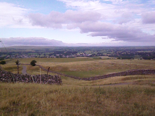
I’ve been traveling these past few weeks in the hottest July ever recorded for Britain. And reports say that August will continue the trend. The weather allows for spectacular views and superb walking conditions—no mud-squelching, head-down forward progress, no bundling in layers upon layers of clothing, no slick rocks to slip-slide around on.
I’ve worn shorts every day of the walk—more often in the past ten days than in ten years in the Pacific Northwest, in fact. I’m even developing a hiker’s tan (a first). Aside from the vain hope for shade on the moors yesterday, the temps have been tolerable these past few days, still mostly in the mid 20s (mid to upper 70s F).
 Today’s temp is going to be in the high 20s, though, running into the 80s F. I have a choice of ways to walk what Wainwright calls “the royal road” from Keld to Reeth. Wainwright’s favorite, of course, goes high over the ridge on an historical tour of Viking settlements and lead-mine ruins. The other detours low along the River Swale. Wainwright concedes that the “lovely banks of the Swale” are a favorite of walkers and that, “If the day be wet or misty this is the way to go.”
Well, sorry, Mr Wainwright. If the day be hot and scorching, it’s still the way to go for this heat-wuss walker: no climbing, and the prospect of plenty of shade.
 My morning is spent watching a tense game of Jenga in the YHA lounge before breakfast, then breaking camp in my empty bunkroom for twelve. On my way through Keld to hook up with the beginning of today’s C2C trail, I see Marv just leaving his B&B. He’s getting his boots on and arranging his day’s gear on the front stoop. A plate of bread and watery milk stands on a ledge for the morning sparrows, a ritual gift from the B&B owner.
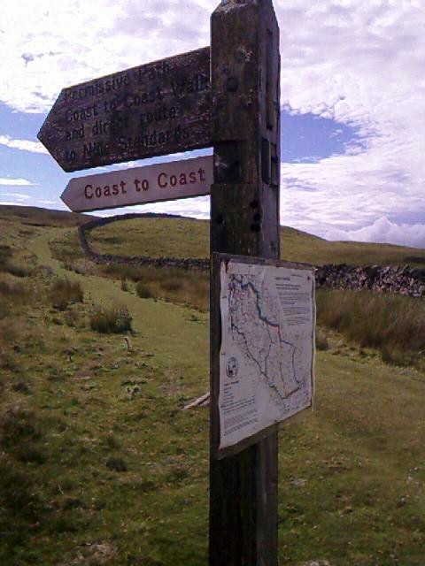
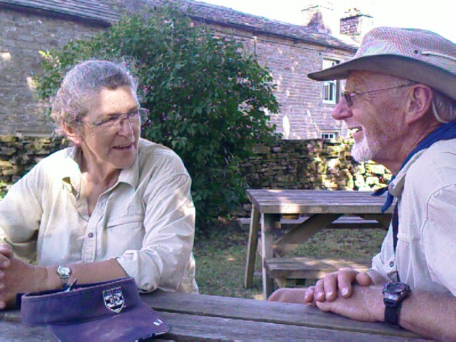
 We agree to beat the heat and walk the river route together. This path is off my Footprint C2C map, which means we’ll be following Marv’s non-Wainwright guidebook and the next of the OS maps I’ve bought since Shap. Looking ahead on the track, I think I’ll keep buying these maps past Richmond. They’re a small price to pay for assurance that I’ll reach lodgings that aren’t always on my Footprint map. And more hills are ahead in a few days. Sigh.
 Our decision to take the low road ends up turning a 5-hour, 11-mile day into leisurely 8-hour, longer trek that takes us, surprise, surprise, through villages all along the route where we can stop for refreshments and even some shopping. Now this is what we both had in mind for the C2C!

 Just outside of Keld, we come upon a half-buried tractor chassis (perhaps someone had wanted to drive the coast to coast?), and a unique fixer-upper opportunity called Crackpot Hall. This ruin has lots of potential, if you count every room in rubble as a candidate for This Old House. I jokingly take a video tour of it as we try to guess at the original floor plan. The site’s poetic name of Crackpot Hall is Viking for “deep hole or chasm that is a haunt of crows.” So says the plaque. Personally, I prefer to think of the hall as a former guild site of the Society for English Eccentrics.

 We take the uphill side trip to a lead mining site at Swinnergill. I find it less impressive than the bridge construction leading to it, but the gill is still running with a small waterfall. Ducks swim in the rock pools. A bizarre set of dirt steps, hollows created by thousands of boots before ours all stepping in the same spots, leads us down the gill and back into the valley of Swaledale.
 We decide to cross the river and follow a long concrete footpath to Mukor for ice cream and, hurrah, flush toilets. For me, the latter are a welcome change from crouching behind bushes and rocks for ten days on the trail.
We spend a little time in Mukor poking into shops and art galleries. I buy two locally made hand-knitted woolen scarves at Swaledale Woollens (made famous by a recent visit from Prince Charles to commemorate the longevity of this cottage industry). The shop is smart enough to have lots of air-cooling fans. Otherwise, the mere thought of trying on a wool scarf would have kept me from the door, much less a sale.
The art gallery is full of local paintings and sculptures and pottery. One striking set of images has been made by using candle smoke on glass, with subjects such as horned sheep standing on misty cliffs. It’s an old Victorian method that the artist has updated to be more durable. The results are stunning.
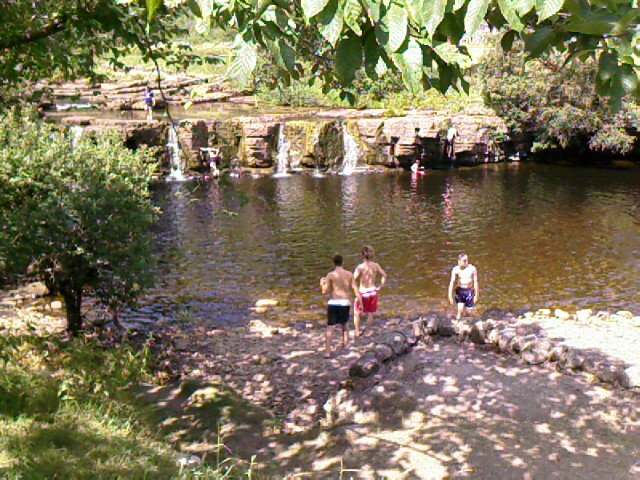
 To avoid doubling back a half mile, we leave Mukor by leaping like kids across the stream over piles of river stones. The banks of the Swale are riddled with “rabbit metropolises” (so called in Marv’s guidebook), and we had several sightings of the inhabitants. The earth beneath the trail and the surrounding fields must be like Swiss cheese.
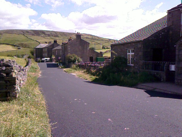
The next village we come to, Ivelet, is mostly residential, with only one pub (closed this early in the day). Flowers are in full bloom in the front gardens of dozens of stone, cracker-box square houses that all look alike. Roses, snapdragons, pansies, petunias, geraniums, impatiens in a carnival of color. I spot a cotoneaster trained into a tree, and apple trees trained on espaliers, their green fruit hanging like ornaments.
 The Ivelet Bridge ahead of the town is on the corpse road—the path people used to take to carry bodies from regions that had no consecrated ground into parishes that did, so that the corpses could be properly buried. Ivelet Bridge was a common resting spot for the body-bearers, who would lay their burden on a particular stone slab that I never found.
At noontime, we eat our sack lunches under the only shade trees immediately available where we are: right in the middle of the dirt trail at the top of a slope that drops fifty feet straight down to the river. A fighter jet roars down the swale low enough for us to see its landing gear compartments and to send my hands up to cover my ears. This area is part of the air practice loop from Fort William at Ben Nevis. I remember these fighters skimming over us on a trail ride at Torlundy and scaring both us riders and the horses with their rib-rattling, afterburner roar.
A stop at Gunnerside for toilets finds me greeting two Fell horses standing hot and sweaty in their saddles and gear. They are tethered outside the restrooms, awaiting their riders who are just coming back from lunch in a pub. Marv says he saw a man herding cattle up the road through town while I fed the apple from my lunch to the horses and chatted with the owners, who had ridden in from Keld.


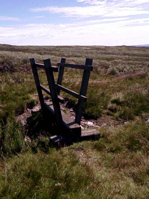
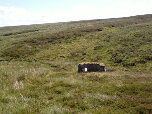
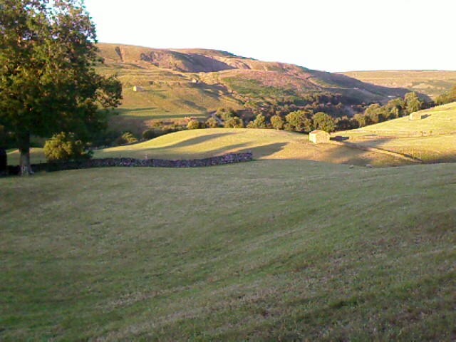
 Today’s variable terrain is a welcome change from the miles of yesterday’s moorland. Grass becomes field becomes warren-riddled dirt track becomes a wall-walk six feet above the river at the right and sheep fields at the left. Lots of rabbits and ducks to see, plus cows standing and drinking in the river.
Finally off the river track, we take to the auto road, then up and over faint paths across fields that have crispy-brown grass and sheep huddling into every bit of shade under a tree or by a wall. We finally make it to Healaugh (Marv and I come up with every way to pronounce it except correctly: HEE law), then onto the final B road into Reeth for the last 1.5 miles.


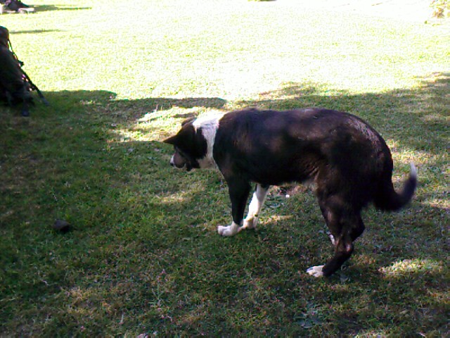
 Once again Marv and I have separate lodgings. I find mine, Hillary House B&B, in the heart of town. As I pass through the iron gate, I am greeted by a wolf-whistling gray parrot Del, a barking collie Sam, an effusive, friendly proprietor Clive, and his kindly elderly parents. I admire the lovely cross-stitch embroidery in frames on the walls, and am surprised to learn that both Clive and his mom do them, with Clive creating the really detailed ones like this of the hummingbirds. I like Clive’s sense of humor in signage, as well.
 A shower followed by a cup of tea in my room have me feeling perky and refreshed. Clive’s mum comes in to ask if I have any laundry. Bless her. I hand over a small pile of socks, shirts, and undies.
David and Michael stayed here last night, and left greetings for me with Clive, plus the warning to “Take the river route.” Clive said they had tried to send me a phone message to that effect, but there’s no cell service here. I laugh at the belated message, glad I had followed my instinct on the route.

The center of Reeth is a small triangular green surrounded by pubs, residences, church, restaurants, B&Bs, and the usual other amenitieis. I’m pleased to spot John and Elaine scoping the place out, and we compare notes on where to eat. Clive has suggested a few places.
I go in search of Marv at the pub he’s at. It becomes an adventure to find him—his pub/hotel is very old, with uneven floors, narrow halls and stairs, and dark posts and beams that seem to go every which way. The guy behind the bar tells me Marv’s room number, but I can’t find it no matter how many corners I turn. It’s like being in one of those rabbit metropolises at the River Swale. I finally track him down, and we arrange to have dinner with John and Elaine.
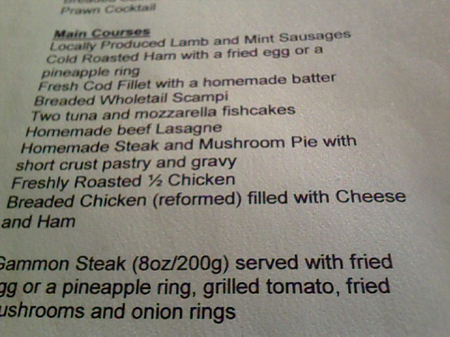 Outside The Copper Kettle (Clive’s first recommendation), we run into the Dutch couple Marv had met earlier—Marja and Nico (MARya and NEEko)—and we all hem and haw about whether to eat here or elsewhere. We go inside. At first it’s not very promising; the waitress moves us table to table, a couple of good-sounding items aren’t available on the menu, and the waitress/owner seems a little put out at the size of our group. But the food and service turn out to be excellent. We get a good giggle over their menu offering of “reformed” breaded chicken; Marv jokingly wonders which denomination it belonged to.
 I order the fish and chips, peas, and a yummy strawberry sundae, and we all share lots of laughs. I turn in at 10:00p to another warm night, window open. The atmosphere of Hillary House is calming. I am feeling pooped and utterly content.
Trail miles: 11.5; actual miles walked: 13+