Monday, July 24, 2006

C2C Day 7, Orton (Mile 71)—Shap Ahoy!

Today I am to reach the 70-mile mark of the walk. Over one-third of the way across England. It turns out to be a time of good and unexpected company.

I breakfast with Jenny and Len, then am off at nine to walk to Shap via Rosgill, using public footpaths that cross sheep and cow fields. I have only my OS map and the most basic of compass skills to guide me, and I manage the four-mile trip in 1.5 hours, with several pauses along the way to verify direction (including that, yes, I am to walk straight across someone’s back garden and under their knickers drying on the laundry line—look closely through the gap in that photo), and to hunt for stone stiles that are concealed like secret staircases along miles of stone walls that all look the same.
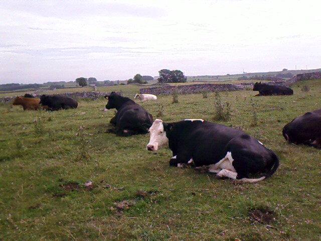
Thankfully, someone has spray-painted fluorescent yellow dots near each set of embedded steps—a C2C trail-marking color. Once I know to look for them, I feel more confident about bee-lining it through people’s pastures following a dashed line on the OS map.

One of the standard detours on the C2C to is go to Shap Abbey, a ruin dating back to 1199; had I come the traditional route through Shap, it would have been almost on the way. I’ve had my fill of abbeys and cathedrals on this trip, however, so I decide to skip the side trip and continue on to Shap itself.
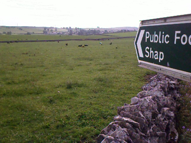
Shap is the largest town I’ve come upon so far on the walk, busy with traffic on Main Street and folks out for Monday shopping. I am disappointed that the post office is only a post office, not also a general store, which I’ve gotten used to in the UK. So I go to the Shap co-op for incidentals, repack an overly stuffed daypack, and take a break for a fresh Snickers bar and writing under a tree at the side of a road. Everywhere I turn, there are fliers posted to protest a dozen wind turbines that are proposed nearby.

The town has a certain charm, but right now I don’t particularly want to spend a lot of time here. I’m on another day alone, and I’d rather be in the countryside on the walk. My feet are holding up well, although the little toe on my left foot feels very tender.

At 11:30, I check the library for Internet access. Arg. All the computers are being replaced right now; they may be ready by 1:00. My 50-50 chance of having e-mail access in Anytown, UK, continues to hold strong.

The librarian, a brown-eyed brunette, says, “You’re the second person in ten minutes to ask to use the Internet.”

I am hopeful. “Were the others a couple? Australian?”

“Why, yes.”

I laugh. It must be Elaine and John, who have been seeking out e-mail every other day on the trip, too.

“They just left,” she tells me. “They said they’d go out for lunch and come back in an hour. They might be in one of the pubs.”

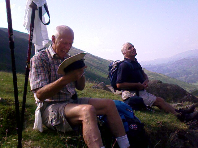
I am about to begin a recon of the three pubs in town, but I spot John and Elaine setting up a picnic at the bowling green across the street. We all spread out on a bench next to the green, and then wave Jenny and Len over as they come down the road. They have just walked into Shap from the end of Haweswater Reservoir, where a cab had taken them this morning to rejoin where they’d left the trail yesterday. Our picnic grows to take over both benches and a good bit of pavement.

Tony, a friendly resident from Shap whom Elaine and John had met at the green just before I arrived, comes back to check on his new friends. He meets the whole group of us, and then goes off to encourage the library to get the Internet done for us out-of-towners before 1:00.

Elaine and John and I talk about the track from Bampton to Shap, and we laugh over the laundry line as part of the trail. I confess to being lost for a while looking for those camouflaged stiles.

We have a bush saying,” says Elaine: “‘You’re never lost, you’re just geographically embarrassed.’” She’s been geographically embarrassed a few times herself, what with many walks in Australia and elsewhere. “Whenever I don’t know where I’m going,” she says, “I just say, ‘I’m not lost; I know I’m somewhere. I’m right here!’” The sentiment is echoed by one of many charming Wendy the Sheep postcards I’ve seen at villages on the C2C path.

Tony comes back to report that the library is moving slowly on the Internet setup and isn’t likely to be done soon, so he invites us to come to his place after lunch to use his computer! I’m reluctant to go—I’m still feeling the desire to be back on the trail—and Elaine and John say, “Thanks, Tony, we will!” I give it some thought and decide to join them: travel is all about meeting people where they live, after all, and one doesn’t always get such a friendly invitation.

So after lunch, our new friend returns to lead us across the park to his house and introduces us to his wife, Joyce, and their small elderly dog, Smokey. Elaine and John take first crack at the computer upstairs, and I spend time with Joyce, Tony, and Smokey in the living room. I drink cold cranberry juice and we talk about my travels and the C2C walk and their history of living in the area. They are gracious listeners, avid conversationalists, and allow me to photograph them in their back garden. I am reminded of my spontaneous visit with Janet and Tricia in Bridestowe. What privileged, personal spaces to be invited into, living rooms and back gardens are.

John and Elaine come downstairs, I have my turn at the computer for e-mail, and we all spend another half hour visiting and sharing stories. We try to get John’s camera to take a timed photo of us from where he puts it on a shelf. It somehow repeatedly fails in this attempt, and we finally manage one with Elaine’s camera.

Refreshed, rested, and ready for the road, John, Elaine, and I take our leave of our Shap friends and head out together on the next eight or so miles to Orton/Raisbeck.

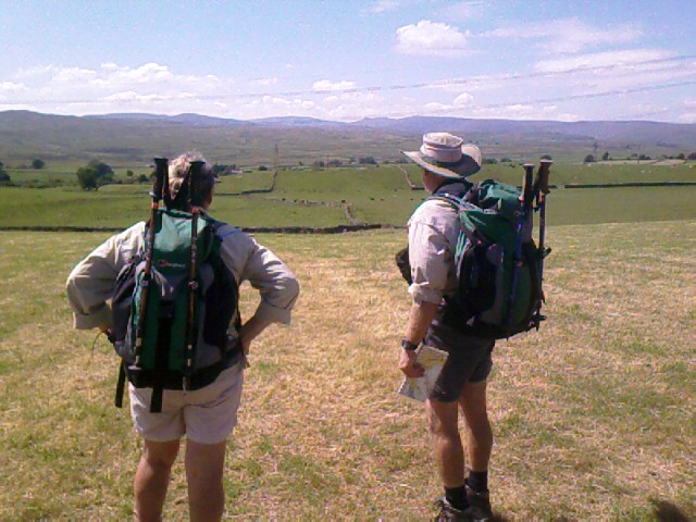


The terrain has changed from endless fells to much flatter land—walled fields, swelling hills, limestone quarries (used and disused), a few natural escarpments. We walk a pedestrian overpass above the M6 motorway with cars zipping by below us, and then across the path of old Roman roads long disintegrated into huge chunks of limestone. I see no brooks today, either—all is dry and hot.

At Crosby Ravensworth Fell, the grassy fields give way to a startling expanse of heath and sparse grassland. The area is so flat and featureless that mapped descriptions of “tree” and “boulder”—landmarks I had laughed at reading—stand out as beacons a mile away. A warning posted at the outskirts of the fell warns of adders, but the only snake-like creature we find is a fascinating green caterpillar barely two inches long. Not that I’m complaining about this lack of poisonous fauna, mind you.

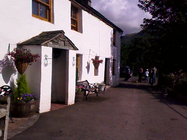
I am overjoyed when we reach Orton at last. My heels, feet, and ankles are sore and my legs are tired. We get to John and Elaine’s B&B first—a first-class place where chocolates are on the pillows and freshly baked scones await the guests. Jenny and Len are staying there too, and have arrived before we do.

I find out that my B&B is more than a mile out of town along the Orton/Raisbeck road. I’m grumpy about this, not only because I feel more like collapsing than walking another twenty minutes, but also because it means another walk back and forth to town for dinner. The place I’m staying tonight doesn’t offer evening meals.

The one saving grace of the trip to the B&B up the hill is that I recognize the two men coming down it. Michael and David, all smiles, freshly showered, and wearing trousers and shirts instead of hiking shorts and backpacks, are on their way back to town. They’re camping at the same B&B where I’m staying. We greet each other heartily.

“Did you get our note at The Knott yesterday?” Michael asks me.

“Oh, no, I didn’t! I decided to not go up there. You left me a note? What did it say?”

“I don’t remember, really. Something like ‘Audrey—good job reaching The Knott. Enjoy the trip down. Michael and David. P.S. Take this note with you so we won’t be littering.’”

We laugh over the thought of the note being found by others who might wonder who these three people were and whether the lady named Audrey ever made it to The Knott. They head off for dinner, and I keep trudging uphill to the B&B.

When I finally make it there, I am hot and sweaty, especially now that I’ve stopped walking. The plump, elderly landlady is brusque, ushering me into a glassed-in, add-on patio that houses a dining table and some plants. She points to where I’m to leave my boots and trekking poles by the knee-high stone wall and offers me tea. I automatically say yes and am given a mug of brew so hot that a fresh supply of sweat floods from my pores just to be near it.

She and her husband sit with me in silence in the breezeless room—she at the other end of the table, watching me try to sip the scalding tea, him filling a chair in a corner, cane in hand, watching me dab my sweaty arms, face, and neck with my kerchief.

I don’t have a lot of energy left for talk. I am praying for the ability to drink the tea quickly, or for them to quit staring and leave me to myself, but the tea is too hot, and their definition of hospitality is apparently to stay present and attentive to a guest’s every move.

The man speaks from his corner. Loudly. “What are you doing that for?”

I don’t understand the question. “Doing what?”

“Rubbing yourself with that cloth. What are you doing that for?”

Before I can answer, his wife shoots out, “She’s hot! She’s wiping off the sweat.”

He speaks again. Loudly. “Why is she so hot? It’s not hot in here.”

“She just walked in from town.”

“She shouldn’t be hot walking in from town. That’s not far.”

I’m feeling defensive and cranky and irritated at being discussed as if I weren’t there. “It’s far when you start at Shap. That’s why I’m hot. I just walked ten miles from Shap.”

“Shap’s not that far away,” says he. “It’s only eight miles.”

Technically, he’s right, but I squelch the impulse to argue that it’s nearly ten miles from Shap to his house, or to point out how far I’ve traveled door to door today. I give it up to concentrate on blowing the tea to a cool enough temperature to drink.

More silence ensues.

My arms keep sticking to the vinyl tablecloth. When I peel them off, they sound like Velcro being ripped open in a cathedral during prayer.

“What time do you want breakfast?” The question is barked by the lady.

I’ve learned to prefer a 7:30 breakfast on the walk, but not every B&B starts that early; some downright refuse to. “What time do you usually serve it?”

“Doesn’t matter. I can do it at 6:00 if you want. But I have 12 guests tonight, and I feed everyone at once. You’re the first one I’m asking, and whatever time you say it is, everyone else will have it then, too. What time do you want breakfast?”

“Uh.” I stall for time. Sheesh. What’s a reasonable hour to set for a dozen strangers to all eat breakfast? “7:30?”

“OK. 7:30. I’ll tell everyone that’s what you decided. Meet down here. You done with your tea?”
I look down. I’ve managed to drain it by an eighth. “Yes, I am, thanks.”

“Good. Your bedroom’s upstairs. There’s a tub in the bathroom down the hall. If you prefer a shower, that’s outside. Do you prefer a bath or shower?”

I need to go outside to use a shower? “Oh, a bath is fine, thanks.”

She leads me to my room, and leaves me blissfully alone. I head immediately for a bath. The bathroom is carpeted (common here). It’s the only bath available for the upstairs, which means that the woman and her husband use it too, and I feel like one of the family as I set out my toiletries among theirs.

After a change of clothes and a brief rest, I walk back to Orton to have dinner with all the Aussies at The George pub. All our meals come at once but mine...they’ve forgotten to place the order. I finally receive it and it’s such a nondescript meal that I can’t even remember what I had by the time I get back to my room.

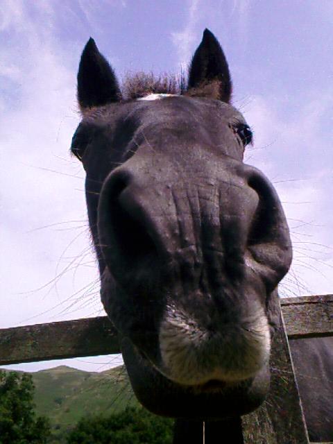
On the way home I feed handfuls of knee-high grass over the fence to a black Fell pony and watch the sun set over hills toward Shap. I send a silent thanks and good night to my new friends Tony and Joyce in Shap, as well as to my six fellow C2C’ers spending the night here in Orton/Raisbeck.

It’s been seven days of walking, and twelve more days to go before I soak my feet in Robin Hood’s Bay. I am hoping the way gets easier from now on.

Trail miles: 10.5; actual miles walked: 15.5

Sunday, July 23, 2006

C2C Day 6, Bampton Grange (≈Mile 61)—Getting Lost Is More Fun with Friends

Last night I have the best sleep I’ve had this week, with lights out by 10:00p, and I wake refreshed. The clouds look low, and over breakfast I decide to avoid the hilltops and take Beverley’s route south via Hartsop and Hayes Water to reach The Knott. She points me to the path that starts in the field across from her farm; getting there requires a dog-leg down the road and across the main street.

I start out around 9:30 and try to hurry, but am not getting my woolen toe cushions just right. They’re either too thick and jamming my toes or too thin and not giving me enough support. After the third stop within 300 yards to adjust them, I realize I’m hurrying because I feel scared about the route today.

I’m not going at all on the bona fide C2C, but taking a valley route to Bampton Grange that parallels the ridge walk of the C2C, follows the C2C path between The Knott and Kidsty Pike, and then veers off to follow the Roman Road “High Street” before going gradually down Bampton Common. It altogether avoids the Haweswater Reservoir, which Beverley says is miles of stony walking like at Ennerdale. Much of today’s walk and landmarks aren’t even in Wainwright’s book.

Looking back on Patterdale, I decide on a different route to Hayes Water even from the one Beverley suggested. It sends me through a lovely wild grotto with lots of singing birds that I record on Perry. An amazing gnarled filbert tree looks very old but is still bearing fruit on a few branches. Brothers Water shows up right on cue as a languid landmark.

Still following the details of my OS map, I get off track at Hartsop itself. The obvious footpath along a stone wall that I’m tracking peters out into a soggy cow path and dead-ends at another stone wall that has no stile. I can see my goal down the hill and its corresponding wiggly line on the map—the beck and gill beyond Hartsop—but I am way too high above it in reality.

OK. OS map rule #1: a 25000 scale really means that things are closer than they appear. I should be almost hugging the river, not this far above it. I resolve to attend to the map’s little stone-wall and fence lines more closely and turn to backtrack along the muddy cow path. A high-pitched cry comes from the sky—a golden eagle is soaring over the pasture I am in. She is heading me straight out like a beacon. I recall reading that golden eagles are returning to this area but stay in hidden places. I rejoice in her freedom and beauty, and in the chance to experience a sighting of this usually reclusive bird. I would never have enjoyed her flight had I not gotten off track.

Once again, the day is hot. A stop along Hayeswater Gill gives me a chance to rest from a steady uphill climb and soak my kerchief in the widest stream I’ve seen since starting the walk. Wide expanses of dry rock shows that this gill is still much narrower than it would be in wetter summers, though.

Getting to Hayeswater shortly afterward, I face what Elaine calls a “grunt” climb—easy for footing, but at a 35 to 40 percent grade that leaves me huffing and puffing and taking frequent breaks the whole way up. I finally reach the top to find seven cyclists resting and drinking water next to their laid-out bikes.

“My god,” I say, panting. “Don’t tell me you carried those up here.”

“Yeah,” they chorus, laughing at my expression.

I shake my head. “That’s like carrying your horse up a hill to ride it!”

They are headed to the High Street to bike all the way down along the ridge. Before I leave, another three climbers come over the crest shouldering bicycles. Loony. That’s what they are. Bloomin’ loony.

Beverley had told me that, after I pass The Knott, to watch carefully for the trail that turns sharply left so I don’t miss the turnoff to Kidsty Pike. “Follow the rock wall on your right. If you get to the big opening, you’ve gone too far. Look over your left shoulder, and you’ll see where you missed the turnoff. If you miss it, you’ll end up walking for hours south on the High Street and end up back where you started in Patterdale.”

Great. Don’t want to do that.

I decide to forego a visit to the knoll of The Knott itself and dutifully keep an eye on the rock wall, looking for the opening she describes. Only there are lots of openings. Fallen openings. Crumbling openings. Some deliberate-looking openings. And no corresponding path over my left shoulder. I begin to wish I’d mastered the trick of counting steps so I can gauge actual distance against a map when I spot another one of those bikers who has stopped to consult with a walker. They’re at the junction of a very wide gravel path that turns sharply left...rather hard to miss, actually.

“This the path to Kidsty Pike?”

“Uh, looks like it, yes,” they say, turning their own map around.

I let out a whoop and head up hill. Another tricky bit taken care of by available resources and support. Having canceled the idea of going to Kidsty Pike itself, I am just crossing a trackless field of heather and grass called Rampsgill Head when I catch long-distance sight of a couple wearing familiar-looking beige shorts, shirts, and outback hats.

The woman yells, “Audrey?”

I yell, “Elaine?”

Wow, what a delight to see familiar faces after a schlep like this morning’s. I’d given up hope of meeting any of my new chums today since I’d taken a different route from Patterdale. Heaven only knows where Michael and David are by now; they usually leave earlier than I do, anyway.

Elaine and John have already had a lunch break, and we discuss path options ahead. I relay what Beverley had said about Haweswater Reservoir, and none of us want to do the Kidsty scramble down. So we opt to follow my OS map and take the Roman Road down Bampton Common.

I pull out my sack lunch to eat en route, and we talk about our travels. “How was Striding Edge?” I am still happy I didn’t take that trail yesterday, and amazed that they had.

“Terrifying,” says Elaine. “Exposure on both sides, and some spots of real hard rock climbing. I’m glad I did it, and I don’t need to do it again.”

I heartily congratulate her success, for I know she has conquered a big fear. (Ask her about the time she crawled on hands and knees over boulders in Australia while her children skipped around her like gazelles, and you’ll understand the magnitude of yesterday’s accomplishment.)

John has done a lot of rock climbing in his time, some of it extreme, and agrees that Striding Edge is right up there in complexity and difficulty. He was particularly worried when he inadvertently dislodged a rock and sent it careening down the slope toward some hikers who had no business scrabbling up a particularly extreme side of the hill. “Look out below!” he cried. Fortunately, the stone bounced away from the climbers. John still looks relieved when he tells the story.

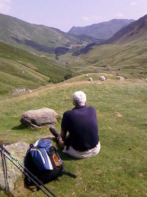
The Roman Road is less road now than a flat expanse of moors, and it’s blessedly gentle to walk on after so many days of stony ground and granite climbs. The path flows downhill, the hills are swells that expose peekaboo views of the lakes this district is named for, and instead of stones to jar every joint, padded peat cushions my steps.

The path is easy to follow until we get to Bampton Common itself, at the end of the Haweswater Reservoir. Then it becomes a fun challenge to find our way among the undulating hills and multiple paths that appear and disappear in the grasses. A landmark called Four Stones Hill proves most elusive—it’s supposedly four standing stones on a hill near the reservoir, but they’re nowhere to be seen.

We laugh a lot here, and I realize it’s far more fun to be lost with others than to be lost alone. We have plenty of daylight and three brains to put to the problem. We press on with John’s compass, our two maps, and everyone’s best common sense, and the trail still leaves us hanging at the outskirts of the first farmhouse we’ve seen all day. There we find a mound with four boulders all in a line—quite possibly the Four Stones Hill moved much farther north.

Civilization in the form of Bampton shows in the distance at last. On the very last slope of the very last sheep field before we reach Bampton’s road, I am reading my map and I step straight into a rabbit hole. Boom, down I go, face-plant into the grass before I even know what’s happened. Thank god I didn’t twist my ankle or knee, but my already-sore toes got jammed forward in my boot. Yeeowch.

OK. OS map rule #2: Don’t walk and read the map at the same time...


My hotel is at Bampton Grange, about 1/2 mile farther down the road from John and Elaine’s in Bampton, but that much closer to eventually reconnecting with the C2C trail around Shap. I take a welcome toilet stop at John & Elaine’s B&B (the proprietress panicks a bit when she sees three of us waiting on her doorstep, and had planned for only two). We reconnoiter with maps for tomorrow’s leg of the journey, and I am soon on my way to a shower, dry clothes, and an orange-passion fruit J2O at my hotel, the Crown & Mitre.

At the onsite pub, a five-year-old blonde girl in a pink headscarf is holding out a white plastic grocery bag to each patron: “Pea?”

Her big blue eyes are wide as she offers me her goods. I peer inside. A pile of sugar snap peas. I take one with thanks, and off she goes.

I eat supper at the pub with Jenny and Len, C2C’ers who are also from Australia, selecting a dish of venison in red wine/cranberry sauce, chips, broccoli, peppered cabbage, and carrots. Elaine and John, who met their fellow Aussies at Stonethwaite, join us for dessert. I order sticky lemon pudding with vanilla ice cream, but it’s not as good as regular sticky toffee pudding.

Turns out that John/Elaine and Jenny/Len live on opposite sides of Melbourne: John/Elaine on the coast, and Jenny/Len on the wine country side, 55 miles away. They’ve never met until this walk, even though they’re all avid walkers in Australia. They swap tales of the many hikes and walking tours they’ve done there, and I mentally move that country to the top of my list of places to visit someday.

By rough calculations and map checks, had I walked toward Shap instead of Bampton Grange, I would be at mile 61 of the official trail today. I’ve got four miles or so to walk to Shap tomorrow, which returns me to the trail at mile 61.5 and on the way to tomorrow’s nightly stop, Orton/Raisbeck.

Trail miles: 13; actual miles walked: 15

Saturday, July 22, 2006

C2C Day 5, Patterdale (Mile 48)—Trail #1, #2, or #3?

Another 10 miles are ahead of me today, and the 12 steps from my bunk to the toilet have been a challenge all night long. My knees and ankles ache, and I can barely get my sorry body upright as I roll out of bed.

A shower and some moving around have helped a little this morning. It’s 6:30 now. Breakfast is at 7:30 and I’ve got a glorious hour of lazing around in bed now that I’m dressed. I’ll pack my toes and my bag after breakfast to be on my way by 8:30.

Having walked or fell-climbed an average of nine miles for each of four days, I’m at that in-between stage of wanting to rest (or quit) and feeling dejected over yet another two more days of Lake District hills. My body will hold up, but I’m definitely pushing its limits.

Last night Barry pointed me to an alternative path out of Grasmere that goes around a lump of land called the Great Tongue, which rises, well, like a big green tongue between two hills and gills (Little Tongue Gill and Tongue Gill—sometimes these place names make ridiculously simple sense). The trail to the right, Tongue Gill, has a gentler climb than the “official” trail to the left, and I have no hesitation in taking it this morning.

The day is bright and the walk easy over several stream crossings and through waist-high fern along the south side of Great Tongue. A few sheep are around. They run away from me, crashing through fern in startled, bleating leaps. I’m otherwise alone on the trail, although I can see two people, not necessarily traveling together, a ways behind me.

At quarter to ten, I’ve nearly reached the top of Great Tongue, and I take a break where the gill runs cold and clear over rocks and creating a small pool. I soak my kerchief and drink in the view of Grasmere in the valley below the deep fern green of the Tongue. I’m in the middle of making a voice recording about my progress when a familiar white hat and face come over the rise—it’s Michael, with David shortly behind.

“We thought that was you ahead of us!” says Michael as he sits down and stabs his trekking poles into the ground. “Those legs were like a carrot on a stick, leading us on!”

I am grinning, happy to see them both. David’s holding up well. We take a break together, sharing perspectives on yesterday’s walk. They had taken the low road through the valley to Grasmere.

“Awful, just awful,” says David. Michael agrees. It was more of the same rocky, rough terrain we’d covered the day before, plus it was hot and there was not much to look at.

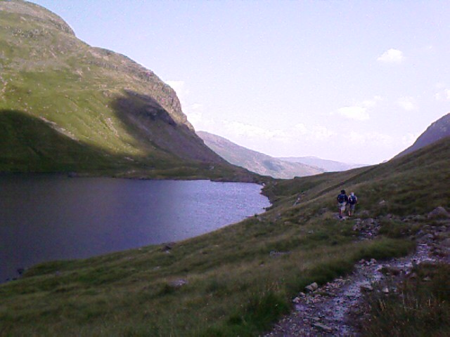
A little after ten, we strike off together to the top of the Great Tongue, where I pause to take one last look back at Grasmere to say good-bye. The trail levels off a bit, then heads down to Grisedale Tarn (a small lake) where I yelp again with delight—there are John and Elaine, the couple from Australia.

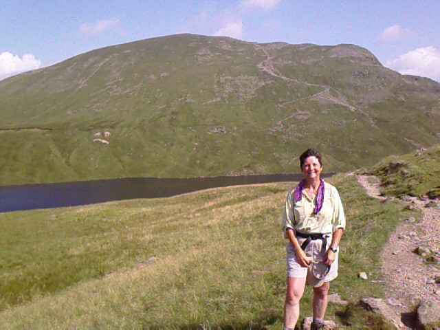
We all make introductions and discover that John and Elaine are tackling a grueling string of hills that starts with a 1,000 foot climb to Dollywaggon Pike (I call it Dolly Parton Hill—that’s it behind me in the photo), goes another 1,000+ foot climb to the top of Helvellyn (3,118 feet), and culminates with a walk along the infamous Striding Edge, a popular, dangerous, wind-blown path that’s barely a few feet wide and has sheer drops of 2,000 feet on either side. (This is a two-way path, mind you, with people laden with backpacks trying to pass each other.) Their night’s lodging is on the other side of the ridge.

Michael, David, and I are all staying in Patterdale—they at a campsite, and I at a B&B that I hope is near the center of town. We’ve got three choices for route from where we stand at Grisedale Tarn: the same ever-uphill, harrowing track that John and Elaine will be taking to the left (no, thank you!); another ridge walk to the right along a saner-looking, long fell called St Sunday Crag (uh, think I’ll pass on that one, too); and a relatively straight shot down the valley of both ridges, following Grisedale Beck (stream).

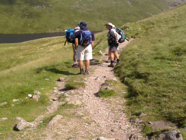
Wainwright prefers, of course, a ridge walk, and recommends the less crowded St Sunday Crag, but all three of us opt for the direct valley route as quicker and easier on our bodies. We wave good luck to John and Elaine as they head for the trail up the side of Dollywaggon Pike, and I walk the rest of the day with Michael and David.


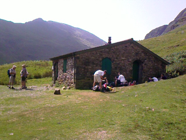
We eat our sack lunches at 11:30 at Ruthwaite Lodge, a former rest stop for travelers that’s now a locked clubhouse for a mountaineers group. By the time we reach it, every square foot of shade around the stone building is taken up by other trekkers and their packs. We park ourselves on a grassy knoll to rest, eat, and enjoy the stretch of valley ahead.

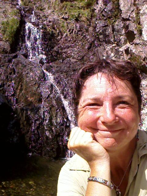
A beautiful waterfall is tucked away beyond the lodge, with a small pool. I hike down to it. Skinny dipping would have been lovely here. There’s also a cave entrance, probably left over from mining. I go into the tunnel about 150 feet, and it gets dark real fast. Lots of water is on the ground. Without a flashlight, I retreat quickly.

Wainwright laments that this part of the Lake District is heavily trafficked—Helvellyn is purportedly the most frequently climbed hill in all of England—and it is here that I begin to see many more people traveling the trail in both directions. Some jounce by on mountain bikes. Most are on foot carrying packs. I saw a few tents set up at the tarn.

Michael points out a faint, unending line of walkers coming down a footpath from Striding Edge to Patterdale on this side of the ridge. “The bus people,” he calls them, referring to how they get dropped off by tour bus at trailheads and travel in packs on their way down.

The walk today is gentle and easy, but without shade until the end of the valley. I’ve had too much sun again, and I start to feel headachy and nauseous once we reach a farm road. David goes ahead and Michael stays with me while I rest at the roadside and down the rest of my water. I make a mental note to buy aspirin to carry with me.

Nearly to Patterdale, we come upon a sheep and a lamb that’s barely larger than a small dog. It’s a very late birth, considering they’re usually born in spring. All the other lambs I’ve seen are nearly two-thirds the size of their mums, round and puffy with new wool. This one looks barely old enough to stand.

We pull into Patterdale at half past one and sit at an umbrella’ed table outside the Patterdale Hotel for a cool drink—J2O orange-cranberry for me, beer for Michael and David. We look over tomorrow’s plans. There’s one more steady, heavy-duty haul uphill to reach a ridge walk that passes The Knott and goes to Kidsty Pike. Michael has never done Kidsty Pike and is looking forward to putting a tick mark next to it on his list of places he has trekked in the UK. From that high point, there’s a pretty severe-looking descent to Haweswater Reservoir, for a four-mile waterside walk before we go several more miles to our respective towns for the night.

Michael and David are staying overnight tomorrow at Shap, I think, which is directly on the trail. I’m headed for Bampton Grange, which turns out to be farther off the C2C trail than I expected—so far, in fact, that it’s not even on the Footprint map. Thank god I bought the OS map that can get me there.

I’m disappointed that tonight’s B&B, Greenbank Farm, is also almost two miles beyond Patterdale’s town center, and therefore two miles away from where the C2C trail picks up near Michael and David’s campsite tomorrow morning. We say our goodbyes for the day and agree to look for each other tomorrow.

En route to Greenbank Farm, I stop at the post office/general store for aspirin, bandaids, and electrolyte drink for tomorrow. After today’s trek, I plan to carry three liters of fluids instead of two.

I am greeted by a lovely black horse on the way to the farm—he nickers and comes up for nose pets. I give him the apple left over from my packed lunch.

Greenbank Farm is very welcoming, and I immediately note it as the best lodging, alongside Low Cock How farm, that I’ve come to so far. Beverley, the proprietress, is talkative, friendly, and helpful. She’s walked the fells and knows their many trails, and begins telling me of alternative routes to Bampton Grange. I’m too brain-weary to take in the details, but I grasp that there’s a way back to the C2C path that doesn’t require me to return through Patterdale. And that she recommends taking something called High Street instead of going along Haweswater Reservoir.

It’s nearly 3:30p, and I’m feeling very tired. I sprawl out in my upstairs room with the window open. Wool is burning outside in the farm yard—the leftovers from shearing. It smells like burning meat and burning hair at the same time, both pleasant and unpleasant. Sheep are bleating and baaing in an incessant chorus. Two young neighbor boys are playing in the yard, romping here while their mums are on errands in town. They’re laughing and traveling around in a plastic-wheeled cart of some kind—it makes that grindy sound of plastic rolling on gravel. The farm’s many hounds are hot; I can hear their panting from up here. I fall asleep for a much-needed nap.

I am the only guest for dinner tonight, and Beverley serves me an absolutely huge and luscious meal of melt-in-your-mouth beef slices, whole fat baby carrots, and small whole white potatoes, steamed broccoli, followed by hot apple pie wallowing in cream. I could have second and third helpings on that dessert, were I not so full.

After dinner, I retire to my room to study tomorrow’s maps and try to remember what Beverley has told me. If I keep going south to join the C2C path, instead of doubling-back north to Patterdale, I estimate that, right now, I’m roughly in line with mile 48 of the official trail. I can see the top of that ridge walk straight across from my bedroom window.

Beverley has suggested that I go south through Hartsop, follow Hayeswater Gill (stream) to Hayes Water (a small lake), and then go up one steep hill to meet the C2C trail shortly before The Knott.

“It’s an easier trail than going all the way back through Patterdale and around the top,” she had said. “And don’t take Haweswater Reservoir from Kidsty Pike, either. It’s as bad as that road along Ennerdale—rocky and hard to walk. You’ll want to go down High Street, the old Roman road that goes along the ridge, to Bampton Common. It will lead you straight down to Bampton Grange for the night. Just be sure not to miss the turnoff onto the High Road after The Knott.”

Nine to ten puppies are playing in the garden. Their yapping antics pull me away from my maps, and I delight in watching their energetic pounces and tumbles. Three of them play a game of tug-of-war with a frayed rope, and one growls over the possession of an empty plastic garden pot. One of the mom-dogs overlooks it all; occasionally an uncle or aunt dog joins in. There are two sets of pups—wire-haired border terriers and Rottweiler-looking Australian herding dogs in black and chocolate versions. I didn’t catch the breed when Beverley’s husband told me. They’re bred here. All for sale. There seem to be twenty dogs all told, adults and pups included.

Returning from the window, I fold up the maps and name some photos from the last two days before going to bed. I need to do that daily, else things become a blur. Even the coast of St Bees feels weeks away, and it was only Tuesday, five days ago.

Trail miles: 10.5; actual miles walked: 10.5